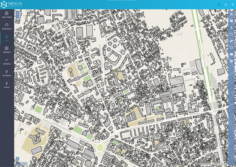
Nexus GIS is an integrated WEB GIS solution that connects people with rich dynamic maps and apps, accompanied by latest technology for complete digitalization of your processes and procedures.
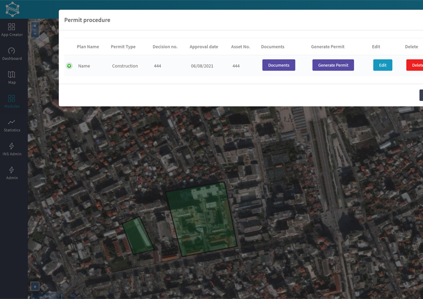
Complete digital transformation of the organization
in terms of efficient management
of
old paper plans and non-standardized digital spatial data.
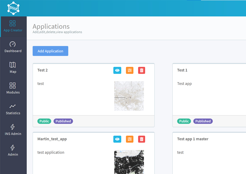
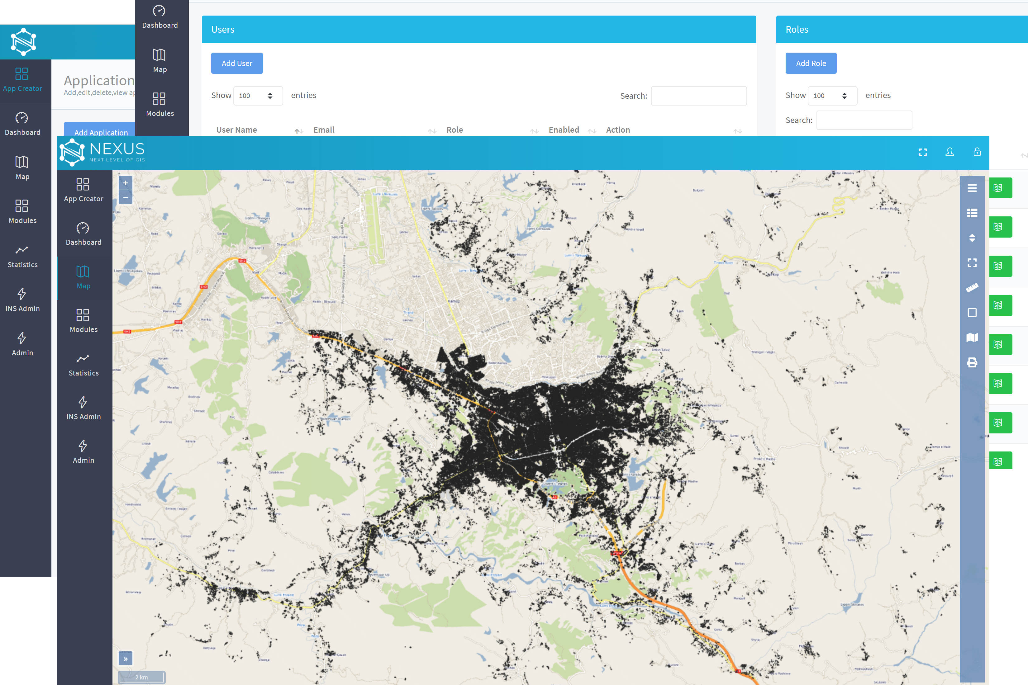
Create WEB GIS application with simple, user-friendly interface and scale your business. No coding knowledge needed.
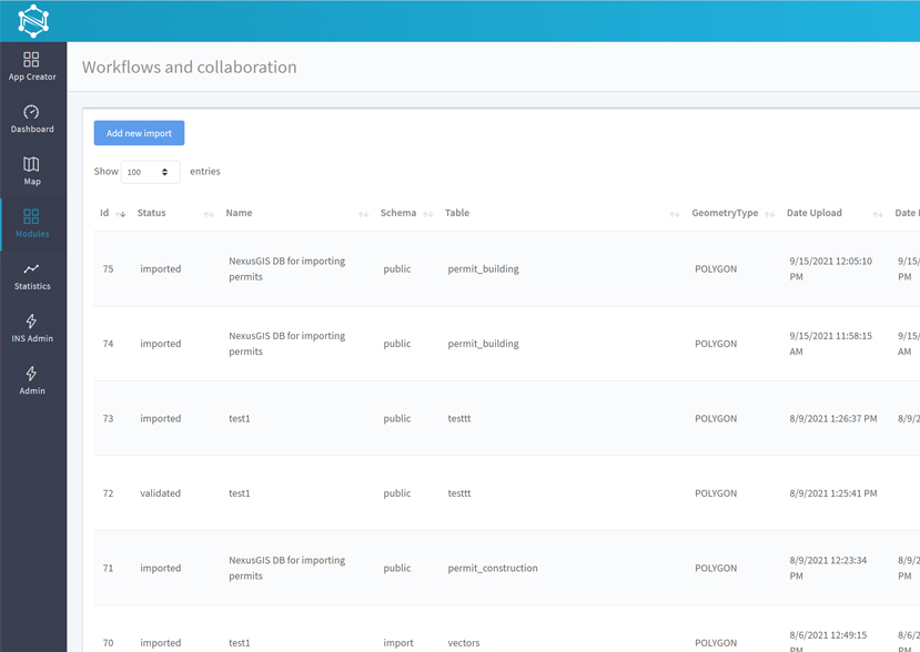
Enhanced company collaboration, information exchange, standardization and GIS content editing.
Centralized storage and management of data from various sources and file formats.
Open system for integration with other 3rd party systems with availability for online spatial transactions.
Check out the gadgets found in the toolbelt of Nexus
Replace paper processes and bring efficiency to fieldwork via data-driven mobile application by collecting field data.
Application is installed on an Android smartphone (or an Android enabled device, e.g. a rugged GPS) and communicates (is synchronized) with the Geo DataBase in real-time. That way you can share the same information between field and office.
Learn MoreFind your best fit in one of our three packages
See the big picture of your business in a different way. With our standard package you can easily create other layers, maps and configure searches based on your need. It's time to put your business on a map, so you can move faster than before.
80% of the data is location data, when you put it on a map, the answers become more clear. Visualize your spatial data & build network by managing users privileges. GIS based document management plus data synchronization between office and field.
Need customized GIS application that is not in your current solution? No problem. Create your own unlimited personalized GIS applications, without any coding knowledge. Includes dashboard display for real-time key metrics & public web portal.